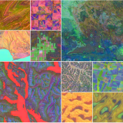
AlphaEarth Foundations applies large-scale AI to satellite imagery and climate sensor data, producing geospatial maps at a resolution and coverage previously impossible. The system enables researchers and policymakers to track deforestation, urban expansion, and climate impacts in near real-time.